Trying to decide between east and west Vancouver for your next home? You are not alone. Each side offers a distinct mix of housing styles, lot sizes, commute options, shopping, and outdoor access, and it can be hard to compare apples to apples. In this guide, you will get clear, local facts to help you match a neighborhood to your day-to-day life and long-term plans. Let’s dive in.
East vs west: the simple divider
Locals often use I‑5 as a practical line to talk about “west” and “east” Vancouver. It is not a formal border, but it works well for comparing patterns across the city. West Vancouver generally means downtown and the riverfront areas near the Columbia, plus nearby neighborhoods like Esther Short, Hough, Arnada, Hudson’s Bay, and Fruit Valley. East Vancouver stretches toward I‑205 and the broader Urban Growth Area, including areas like Fourth Plain Village and Fisher’s Landing, with nearby unincorporated communities such as Salmon Creek and Hazel Dell. You can explore neighborhood names on the City’s list of neighborhoods for context and mapping tools at the city site.
- Explore neighborhood names and locations on the City’s page: City of Vancouver neighborhoods
Housing styles and lot sizes
West side: historic homes and urban texture
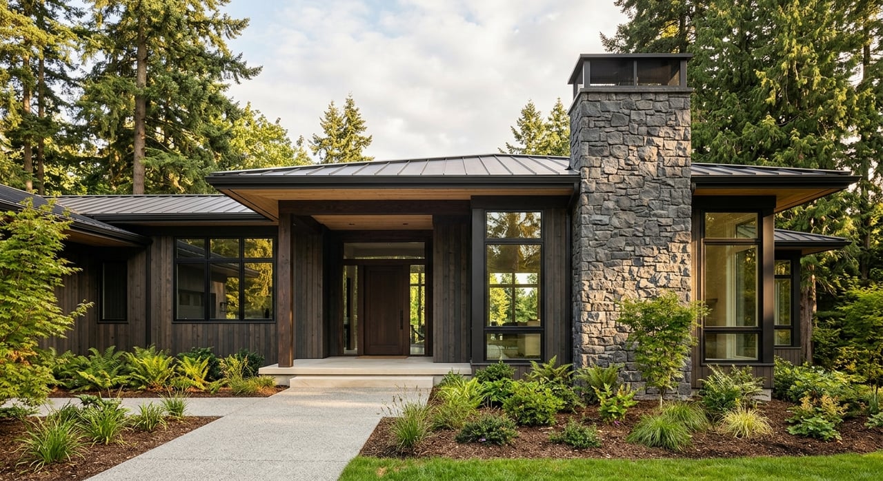
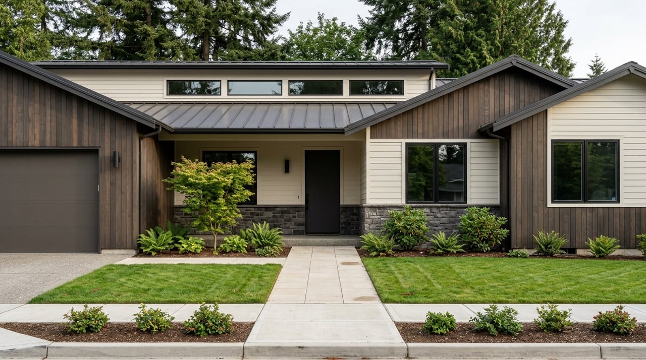
On the west side, you will see more pre- and early-20th-century homes, including classic bungalows, foursquares, and Victorian details. Areas near Fort Vancouver include restored Officer’s Row houses and a mix of small multifamily buildings and local shops. The street grid is tighter and more walkable, and lots are typically smaller, which supports close-in living.
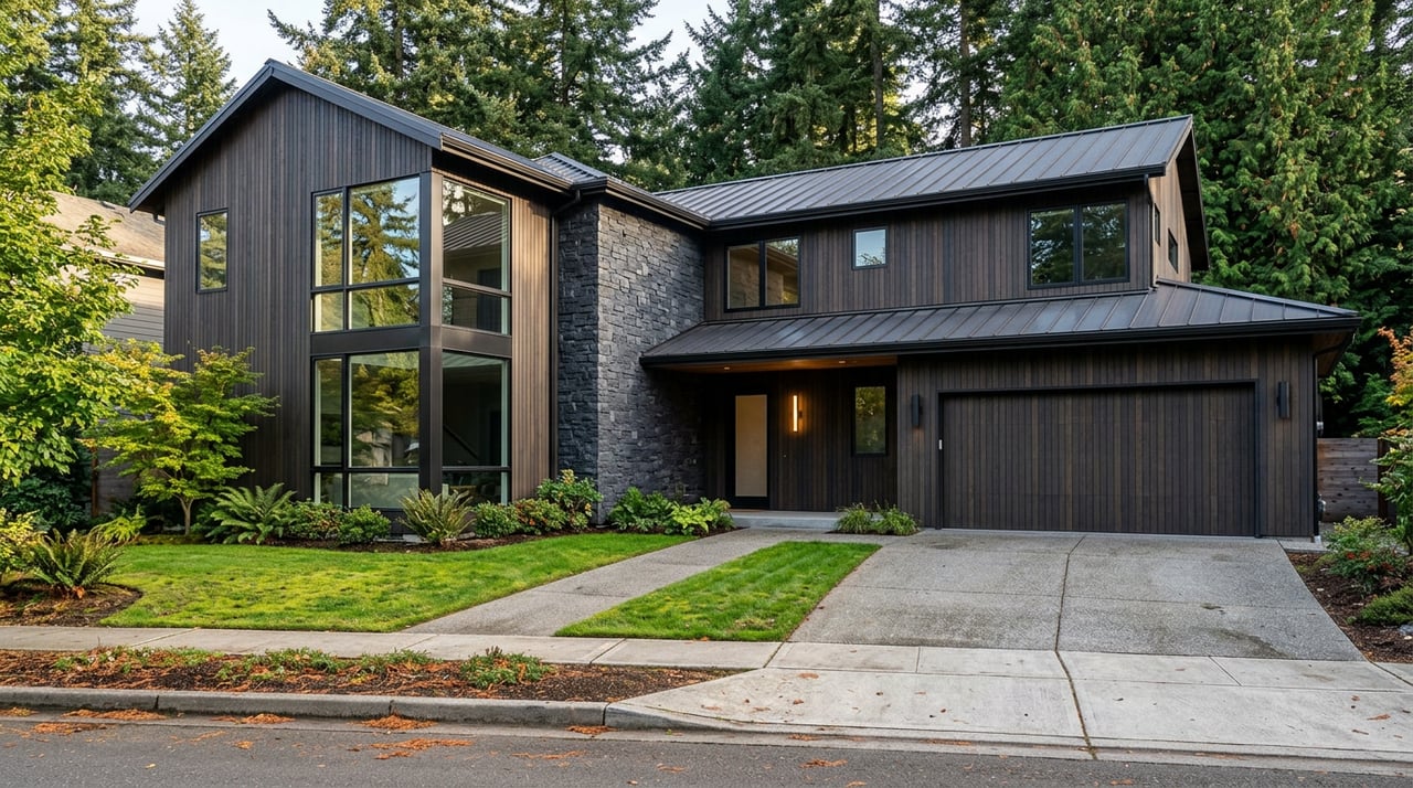
East side: newer subdivisions and planned communities
East Vancouver and the unincorporated urban growth areas tend to feature more mid- to late-20th-century and recent construction. You will find ranch homes, two-story tract homes, and contemporary subdivisions with neighborhood parks. Some pockets, like Fourth Plain Village, offer denser, older fabric, but most east-side neighborhoods reflect a suburban pattern with wider streets and larger yards.
Lot size rules, in plain English
Vancouver’s residential zones set minimum lot sizes, which help explain why west-side lots often run smaller and suburban areas tend to be larger. Representative minimums in the Vancouver Municipal Code include:
- R‑2: 20,000 sq ft minimum
- R‑4: 10,000 sq ft minimum
- R‑6: 7,500 sq ft minimum
- R‑9: 5,000 sq ft minimum
- R‑17: 2,000 sq ft minimum
These are zoning minimums used for density calculations. Actual built lots vary by neighborhood and era. If you are planning an addition, an ADU, or future redevelopment, review the zone and parcel details before you buy. You can check the table directly in the code: Vancouver Municipal Code, Residential Densities.
What to expect by side
- West/downtown neighborhoods typically have smaller urban lots and narrower yards. This supports walkability and proximity to shops, restaurants, and the waterfront.
- East/suburban neighborhoods often provide quarter-acre or larger yards, commonly in the 0.15 to 0.5 acre range depending on the subdivision and era. For example, a current Salmon Creek listing shows a roughly 0.28-acre lot in a typical suburban development, which is a helpful single example rather than a median. See the example here: illustrative Salmon Creek listing.
- In the unincorporated Vancouver UGA areas like Hazel Dell, Salmon Creek, Felida, and Orchards, development often followed county rules that produced larger yards and more suburban spacing. Learn more about how the county frames housing options here: Clark County planning overview.
If lot size is a must-have, verify the exact parcel area through the Clark County Assessor or the City’s mapping tools before you write an offer. The City’s neighborhood pages are a good starting point for mapping: City neighborhoods and map resources.
Commute and transportation tradeoffs
West side: walkable access, I‑5 to Portland
If you work, dine, or spend free time downtown or along the Waterfront, living on the west side shortens local trips and can reduce daily driving. You are also closer to the Columbia River Renaissance Trail and riverfront parks. Cross-river commuters to Portland typically use I‑5, which carries heavy volumes on the Interstate Bridge and sees routine peak congestion. For background on the corridor’s role and traffic studies, see WSDOT’s investment-grade analysis materials: WSDOT corridor analysis.
East side: I‑205 access and growing BRT
East Vancouver offers quick access to I‑205 and major east-west corridors like Mill Plain. Many subdivisions are car oriented, but transit options continue to grow. C‑TRAN operates The Vine Bus Rapid Transit on Fourth Plain and Mill Plain, with the Mill Plain Red Line opening in 2023, and continues to plan enhancements to the network. Learn more here: C‑TRAN’s Vine on Mill Plain.
Typical commute times and a tip
Citywide, mean travel times to work tend to fall in the low to mid 20 minutes on average, though exact times vary by neighborhood and year. Suburban exurbs around the metro often see longer averages than central or west Vancouver areas. You can explore commute data here: Vancouver WA profile.
Practical tip: if your must-have is a reliable commute window, test your route during your target hours before you buy. Also consider how upcoming projects like enhanced BRT and long-term Interstate Bridge work could shift your options over a 5 to 10 year horizon.
Shopping and daily services
West: Downtown and the Waterfront
If you like a compact mix of independent shops, cafés, and riverfront dining, west Vancouver puts you close to downtown’s Esther Short area and Waterfront Park. The city classifies the Esther Short neighborhood as the historic civic and commercial core. See neighborhood context here: City neighborhood overview.
East: Vancouver Mall, Mill Plain, Fisher’s Landing
The Vancouver Mall area serves as the region’s largest shopping hub and a major transit center, with broad access to grocery, services, and big-box retail for much of east Vancouver and Clark County. Get an overview of its role as a transit hub here: Vancouver Mall and C‑TRAN. Farther south and east, Fisher’s Landing offers another suburban cluster of retail and services convenient to SE Vancouver and Camas. Explore neighborhood listings on the City’s page: Fisher’s Landing and nearby areas.
Fourth Plain corridor
If you prefer neighborhood-scale retail without heading to the mall, the Fourth Plain corridor offers local services with active transit connections. You can scan the City’s neighborhood pages for nearby options and routes: Fourth Plain and adjacent neighborhoods.
Parks, trails, and outdoor access
West: Riverfront, Fort Vancouver, and trails
The Columbia River Renaissance Trail, Vancouver Waterfront Park, and the open spaces around Fort Vancouver National Historic Site are signature west-side assets. They put walking and cycling along the river right at your doorstep. Use the City’s Park & Trail Finder to locate these amenities: Vancouver parks and trails.
Northwest: Vancouver Lake and natural areas
Fruit Valley, Vancouver’s westernmost neighborhood, includes access to Vancouver Lake and nearby natural areas such as Shillapoo. If lake access and larger natural open spaces matter to you, this corner of the city is worth a look. Start with the City’s neighborhood info and park locator: Parks and neighborhood resources.
East: Suburban parks and green corridors
East and northeastern neighborhoods are woven with local parks and trail connections, including the Burnt Bridge Creek and Salmon Creek corridors. Many newer subdivisions are planned with pocket parks and short trail links. If you like quick car trips to regional refuges, east Vancouver also puts you within easy reach of destinations across Clark County.
Quick checklist to choose your side
- Lot size and future projects: Need a larger yard, space for an ADU, or options for an expanded garage? Focus on suburban-zoned lots in many east or UGA areas and confirm parcel size and zoning before you commit. Check zoning minimums here: VMC residential densities.
- Commute and mode choices: Crossing to Portland daily? Measure real drive times at your peak hours if you rely on I‑5. If you want transit options, review C‑TRAN’s Vine corridors along Fourth Plain and Mill Plain: The Vine overview.
- Shopping and errands: Decide whether you will use downtown and the Waterfront more often, or Vancouver Mall and Mill Plain. The mall area is also a key C‑TRAN transit hub. See an overview here: Vancouver Mall hub.
- Outdoor priorities: Do you want riverfront trail access, or suburban park networks and quick drives to refuges? Use the Park & Trail Finder to map your favorites: Vancouver parks and trails.
- Long-term outlook: Review city zoning and follow major corridor projects that could change traffic or transit access over the next decade. This can influence daily convenience and resale appeal.
How I help you compare homes
Choosing between east and west Vancouver is easier when you have a clear picture of how you live today and what you want five years from now. I help you translate zoning into real lot-size expectations, weigh commute options against your daily schedule, and map shopping and outdoor access to the neighborhoods you prefer. If you are eyeing a premium or unique property, I also pair local strategy with the marketing reach of a global brand to maximize your results.
If you are ready to compare specific homes side by side, reach out. I will tailor a short list to your criteria, preview options, and guide you from first tour to closing with clear, personal communication. Start the conversation with Louise James.
FAQs
What defines west vs east Vancouver for home searches?
- Most locals use I‑5 as a practical divider, with downtown and riverfront neighborhoods to the west and areas toward I‑205 and the Urban Growth Area to the east.
Are lots generally larger in east Vancouver than west?
- Often yes. East-side and UGA subdivisions commonly offer 0.15 to 0.5 acre lots, while west-side lots tend to be smaller and more urban, though it varies by era and zoning.
How do transit options differ between east and west Vancouver?
- East Vancouver benefits from C‑TRAN’s Vine Bus Rapid Transit on Fourth Plain and Mill Plain, plus park-and-ride and mall transit hubs; west Vancouver offers stronger walkability near downtown and the Waterfront.
What should I know about commuting to Portland from Vancouver?
- Cross-river trips typically use I‑5, which carries heavy volumes and sees peak congestion; test your route at your target hours and watch long-term Interstate Bridge corridor updates.
Where are the main shopping hubs in Vancouver, WA?
- Downtown and the Waterfront cluster dining and small shops on the west side, while the Vancouver Mall and Mill Plain corridors anchor big-box retail and services for much of east Vancouver.